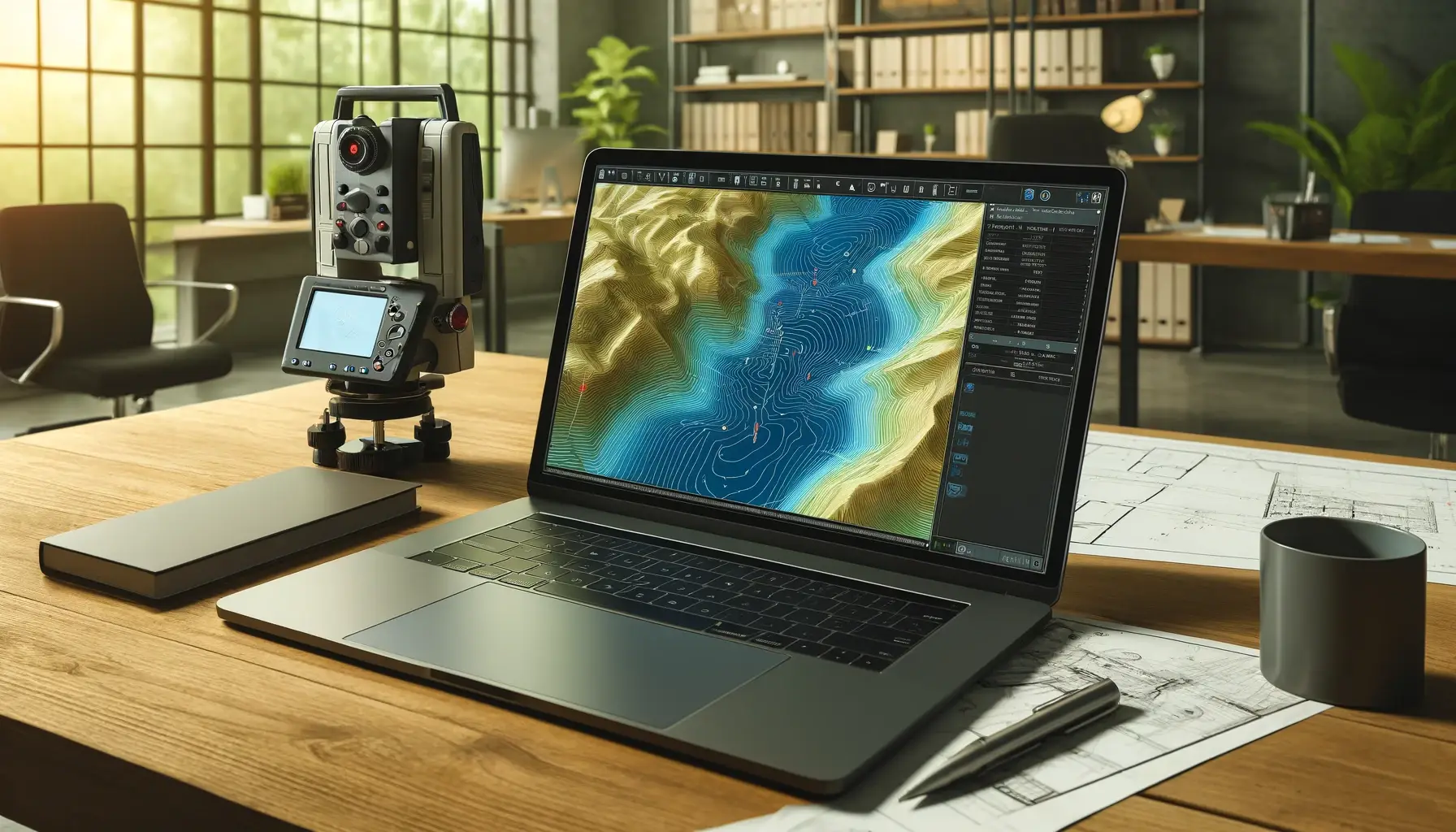
Topographic Surveys
Detailed terrain mapping capturing every contour, elevation, and feature for construction planning and land development projects.
- High-precision elevation data
- CAD-ready deliverables
- Rapid field collection
From topographic mapping to laser scanning, we deliver accuracy you can trust. 20+ years of excellence across the Eastern Caribbean islands.
State-of-the-art technology meets Caribbean expertise. Every project delivered with precision and care.
Detailed terrain mapping capturing every contour, elevation, and feature for construction planning and land development projects.
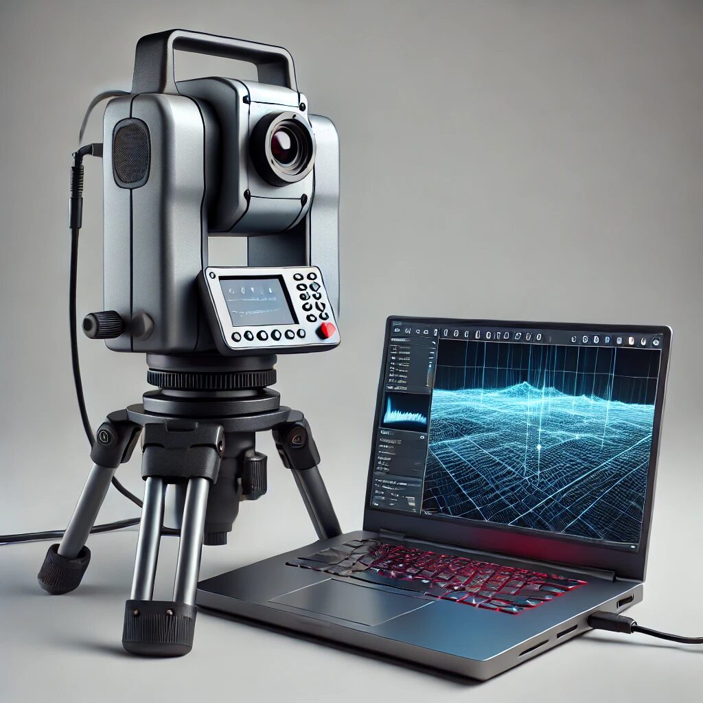
Generate precise 3D models with millions of data points for BIM integration, clash detection, and comprehensive spatial analysis.

UAV-based surveys for rapid large-area coverage with orthomosaics, elevation models, and volumetric analysis.
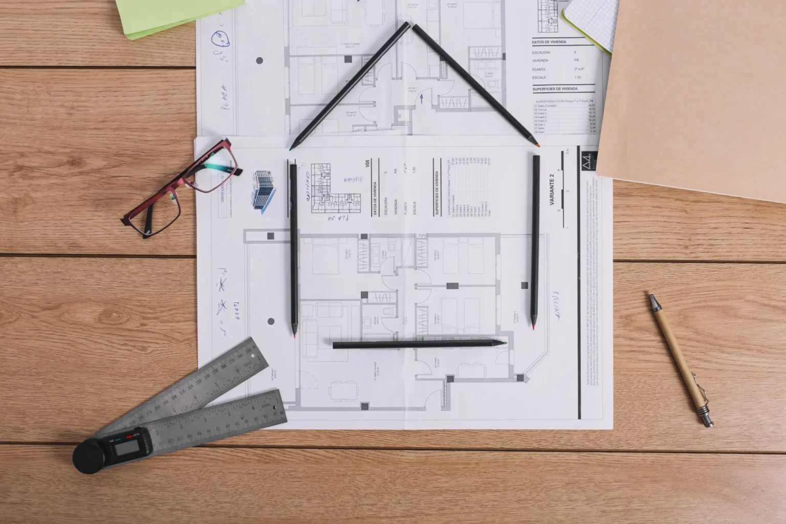
Document existing conditions and verify construction accuracy for compliance and future modifications.
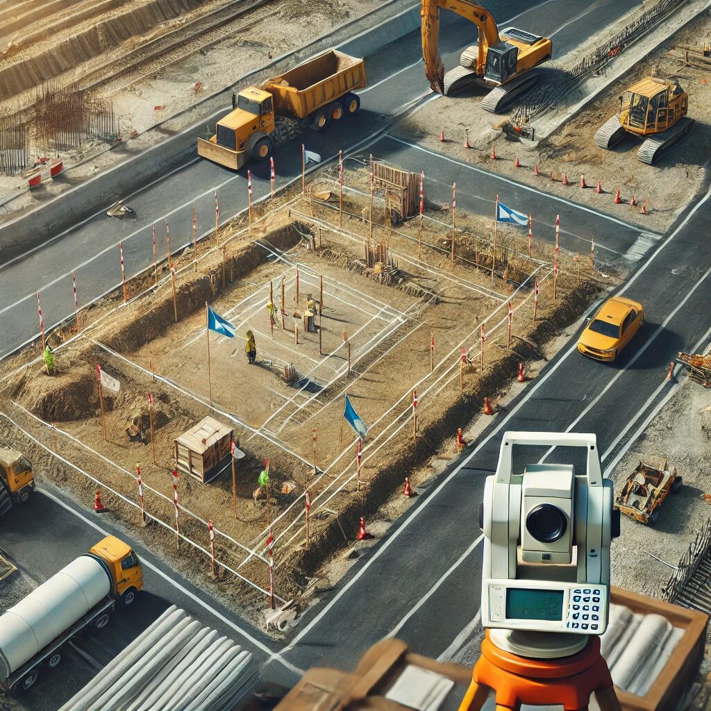
Mark exact locations for roads, buildings, and infrastructure with millimeter-level accuracy using GPS and total stations.
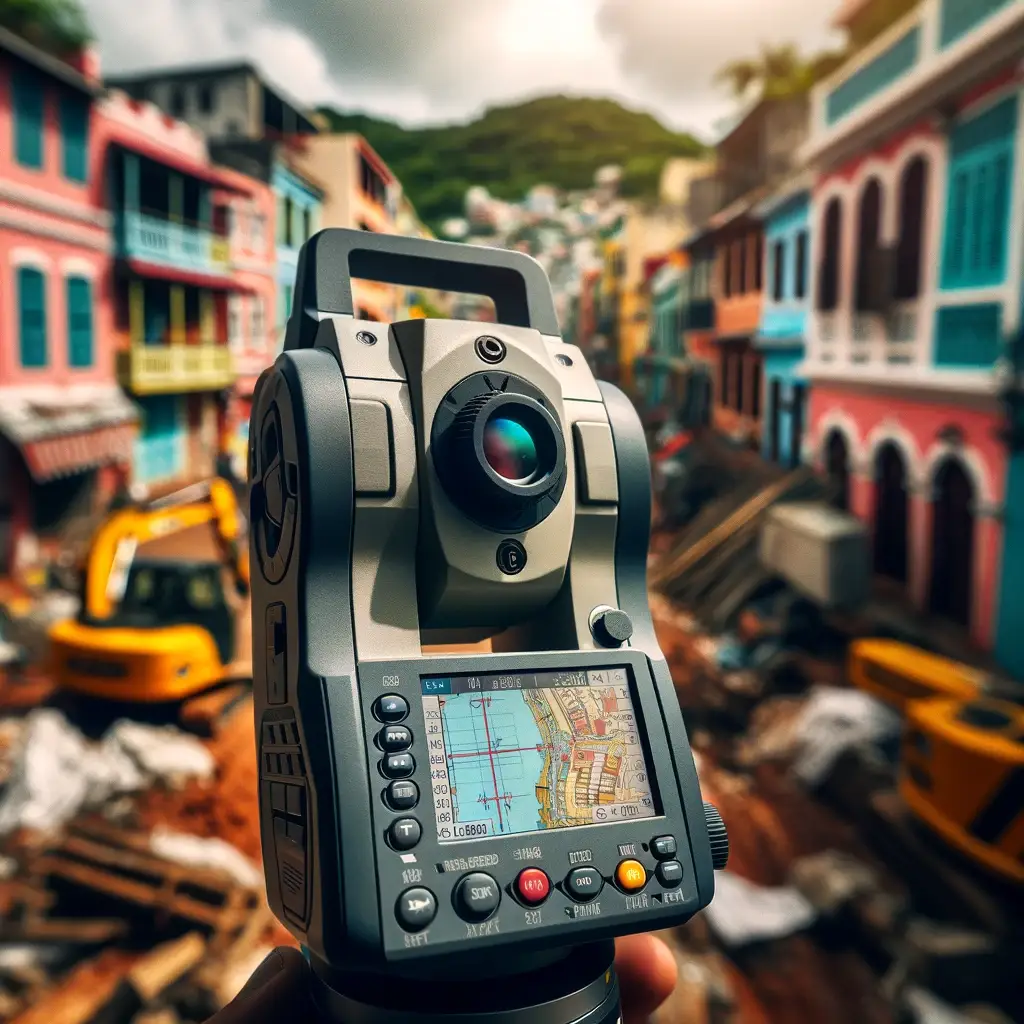
Accurate earthwork and stockpile volume measurements for project planning, billing, and material management.
Local insight meets global technology. We understand Caribbean challenges.
We understand island time constraints. Fast mobilization, efficient field work, quick turnaround.
±2mm standard. Rigorous QA/QC. Trusted by the region's top developers and engineers.
Serving Grenada, St. Vincent & the Grenadines, St. Lucia, Barbados, and Antigua & Barbuda. Local knowledge, regional presence, international standards.
We invest in the latest technology to deliver the highest accuracy and efficiency.
High-precision aerial LiDAR system that penetrates dense vegetation for accurate ground topography.
Advanced 3D mapping software enabling rapid reconstruction of drone data into digital assets.
Portable dual-frequency echosounder for precise hydrographic surveys in shallow waters.
Rugged field controller with a 7-inch touchscreen for efficient data flow and verification.
Watch how we capture, process, and deliver high-accuracy results using cutting-edge surveying technology.
Partner with Akriveia Surveying for accuracy, reliability, and local Caribbean insight. Get a free consultation and quote within 24 hours.