Projects by Location
Explore our surveying work across the Eastern Caribbean islands.
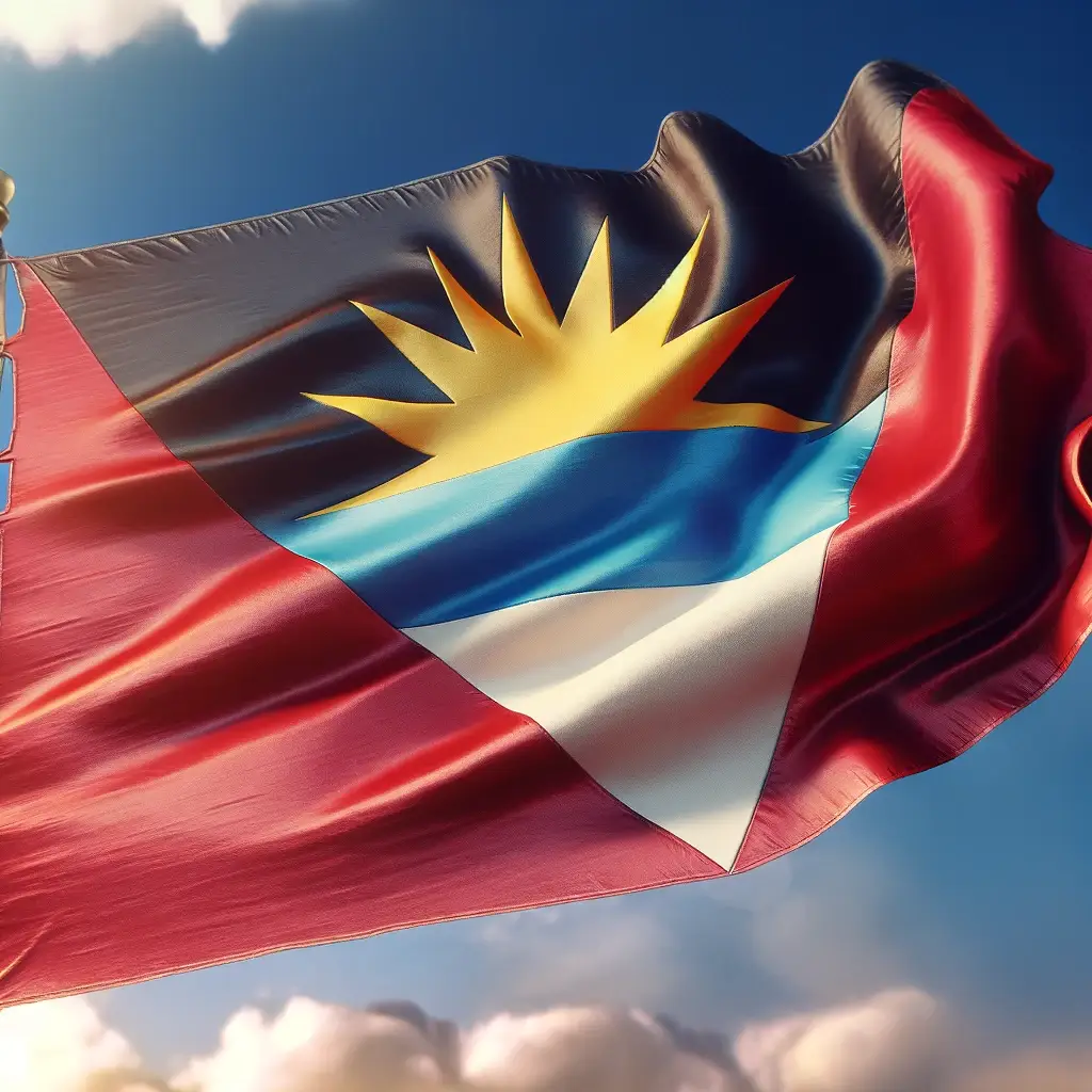
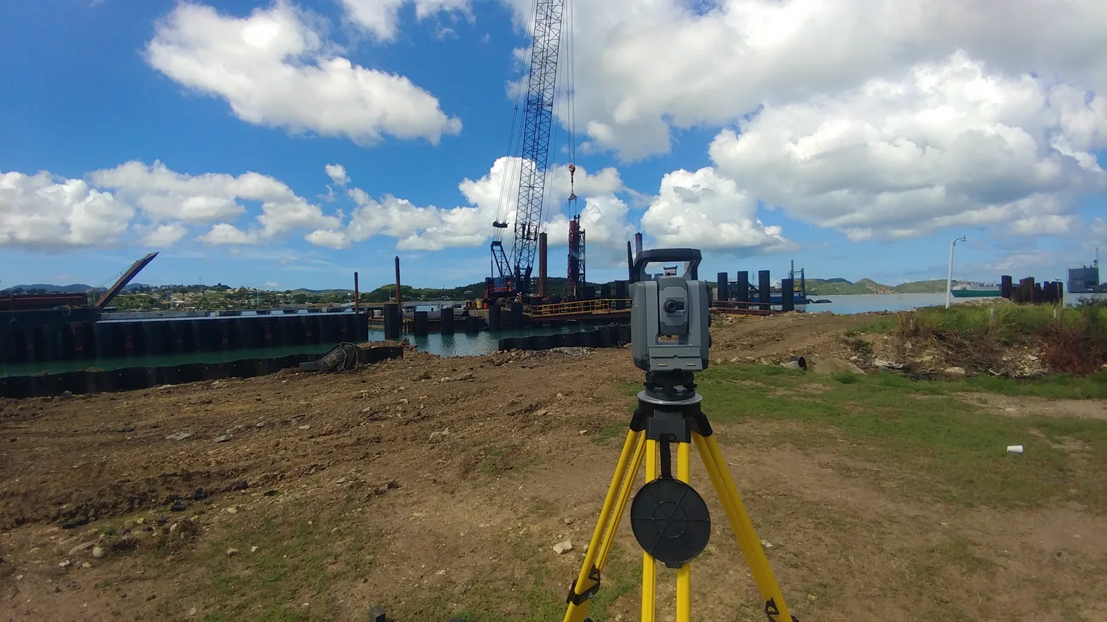
Antigua & Barbuda
Extensive coastal and inland surveys supporting tourism infrastructure and major development projects across both islands.
- Tourism Infrastructure
- Coastal Mapping
- Resort Developments

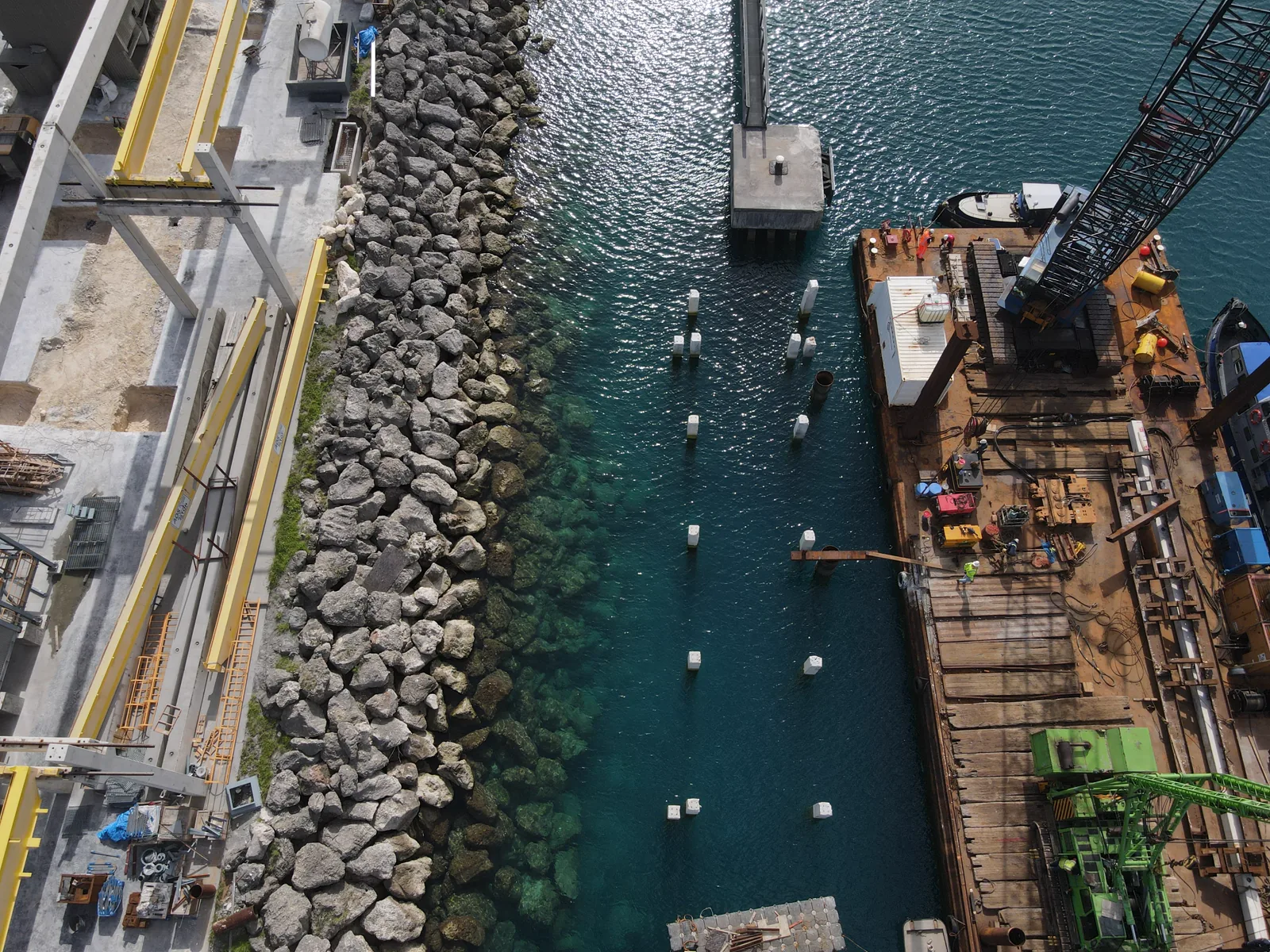
Barbados
Residential, commercial, and hydrographic mapping across the island supporting major development projects and government initiatives.
- Commercial Developments
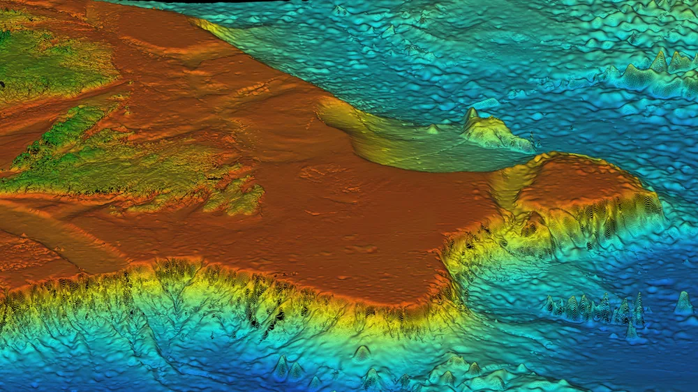
- Hydrographic Surveys
- Government Projects

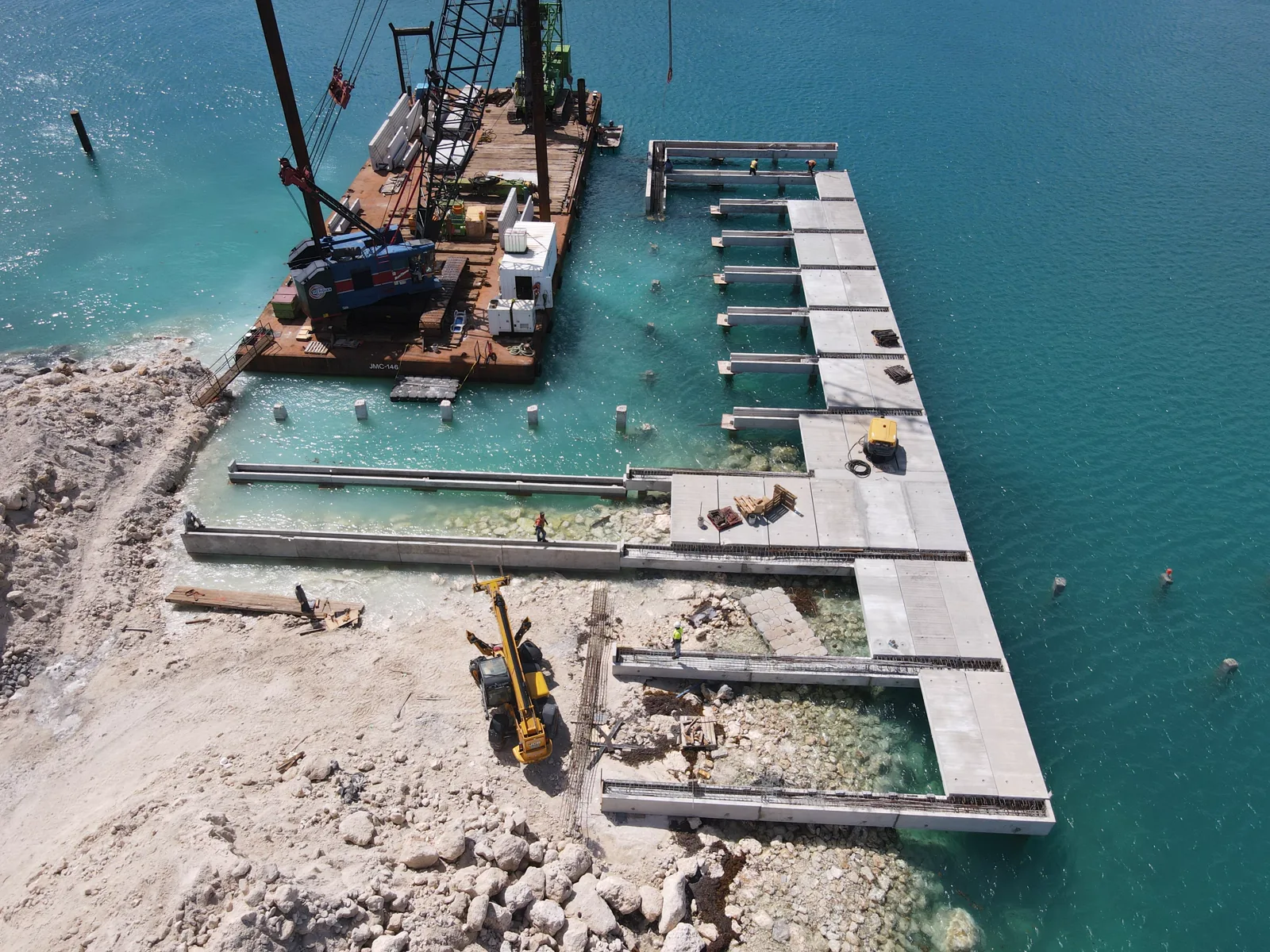
Grenada
Extensive coastal and inland surveys supporting tourism infrastructure, luxury resort developments, and government infrastructure projects.
- Topographic Surveys
- As-Built Documentation
- 3D Laser Scanning

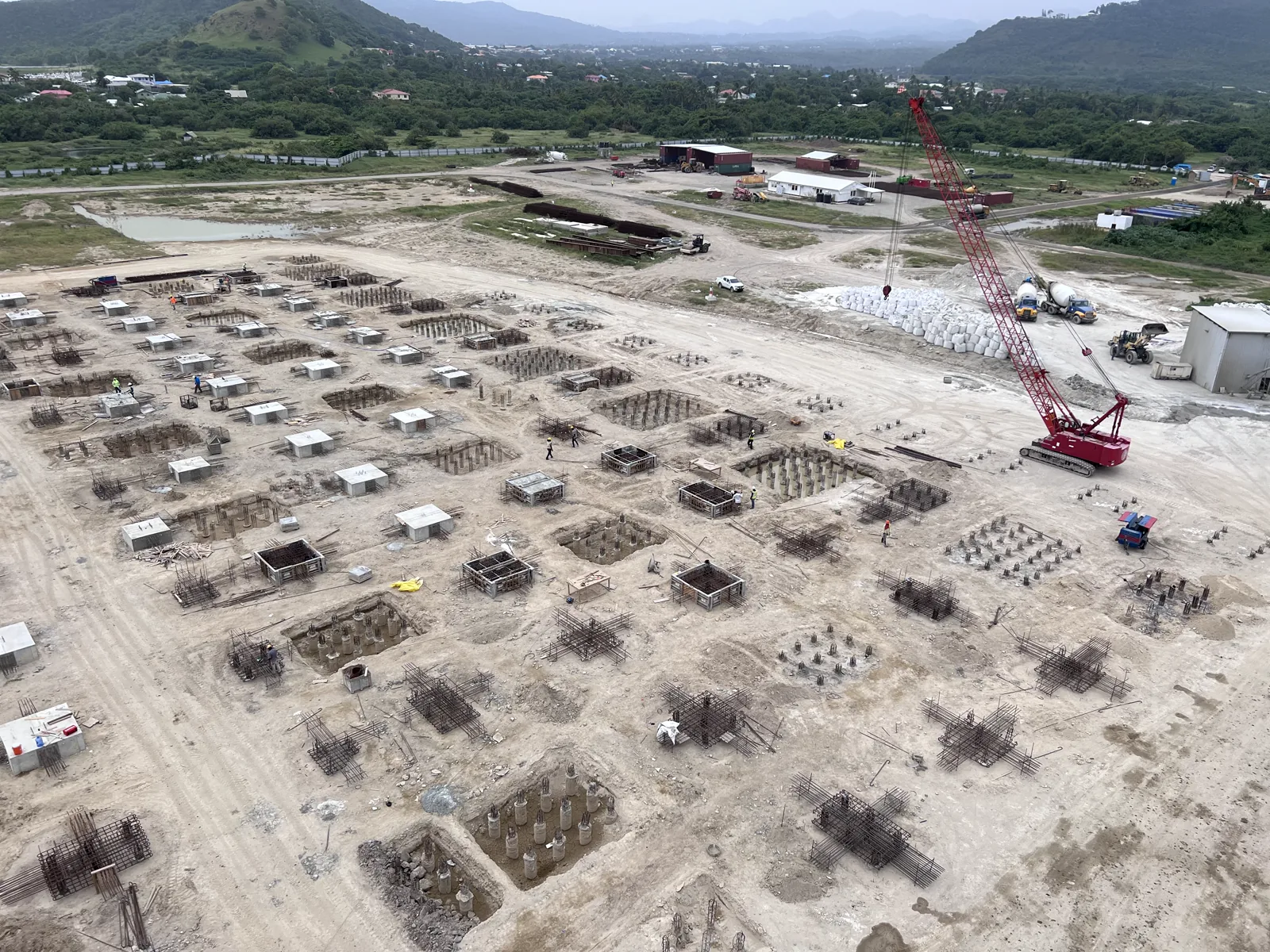
St. Lucia
Comprehensive topographic surveys and site plans for private and public works including luxury resort developments and major infrastructure projects.
- Site Development Plans
- Resort Mapping
- Highway Corridors
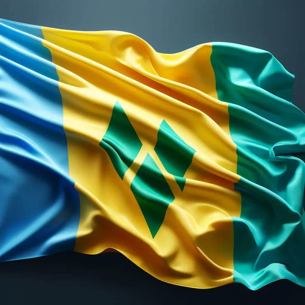
St. Vincent & the Grenadines
Development-focused survey services with regional planning expertise for government and private sector clients across multiple islands.
- Regional Planning
- Infrastructure Development
- Multi-Island Projects