
Surveying Services
Our Services
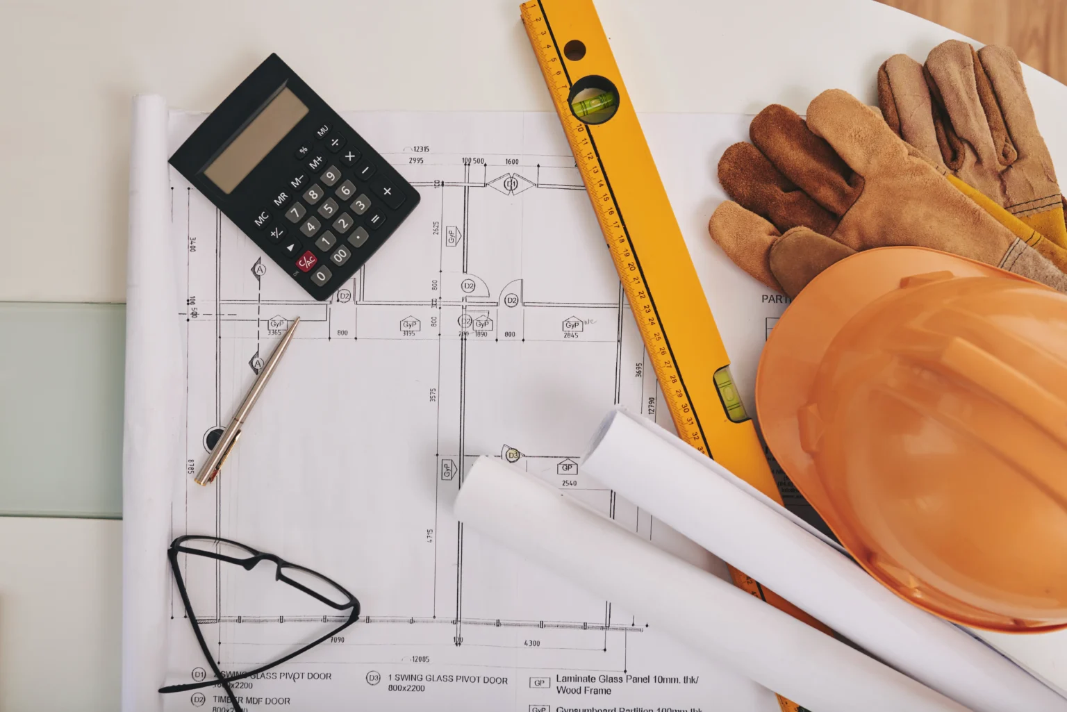
Akriveia Surveying delivers professional solutions across the Caribbean, combining regional experience with high-precision measurement.
Request a Quote
Send your island/location, survey type, and timeline. We’ll confirm next steps and provide a clear quote.
- Deliverables: PDF + DWG/DXF (as required)
- Fast turnaround and clear reporting
- Coverage across the Caribbean
Browse our core services below. Each service page includes typical deliverables and recommended use cases.
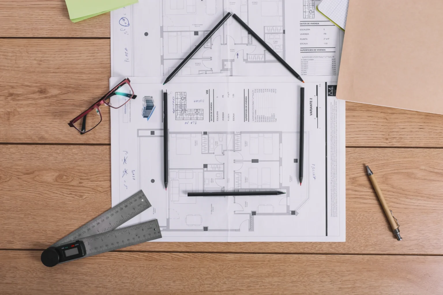
As-Built Surveys
Accurate “as-constructed” documentation of a building or site — ideal for renovations, leasing, compliance, and property sales.
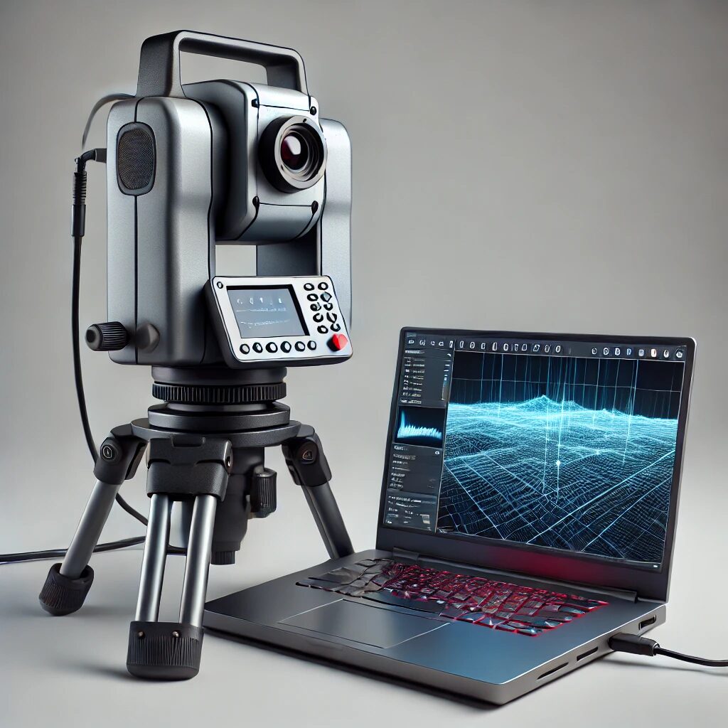
Laser Scanning
High-density point-cloud capture for detailed 3D modelling of structures and terrain — supporting engineering, renovation, and preservation work.
Photogrammetry & Aerial Mapping
Drone imagery transformed into orthomosaic maps, 3D surfaces, and measurements — ideal for construction monitoring, site planning, and environmental surveys.

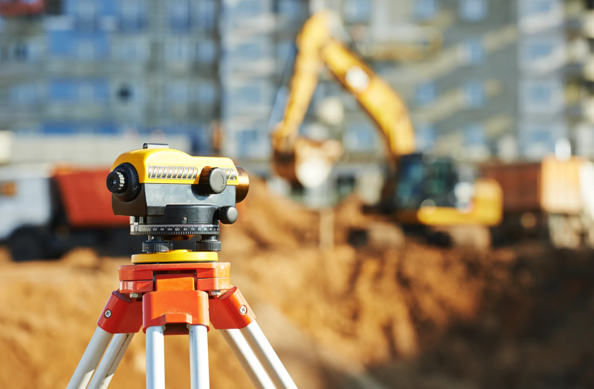
Road & Building Stakeouts
Precise layout for roads, buildings, and infrastructure — transferring design intent to the field with speed, accuracy, and clear site coordination.
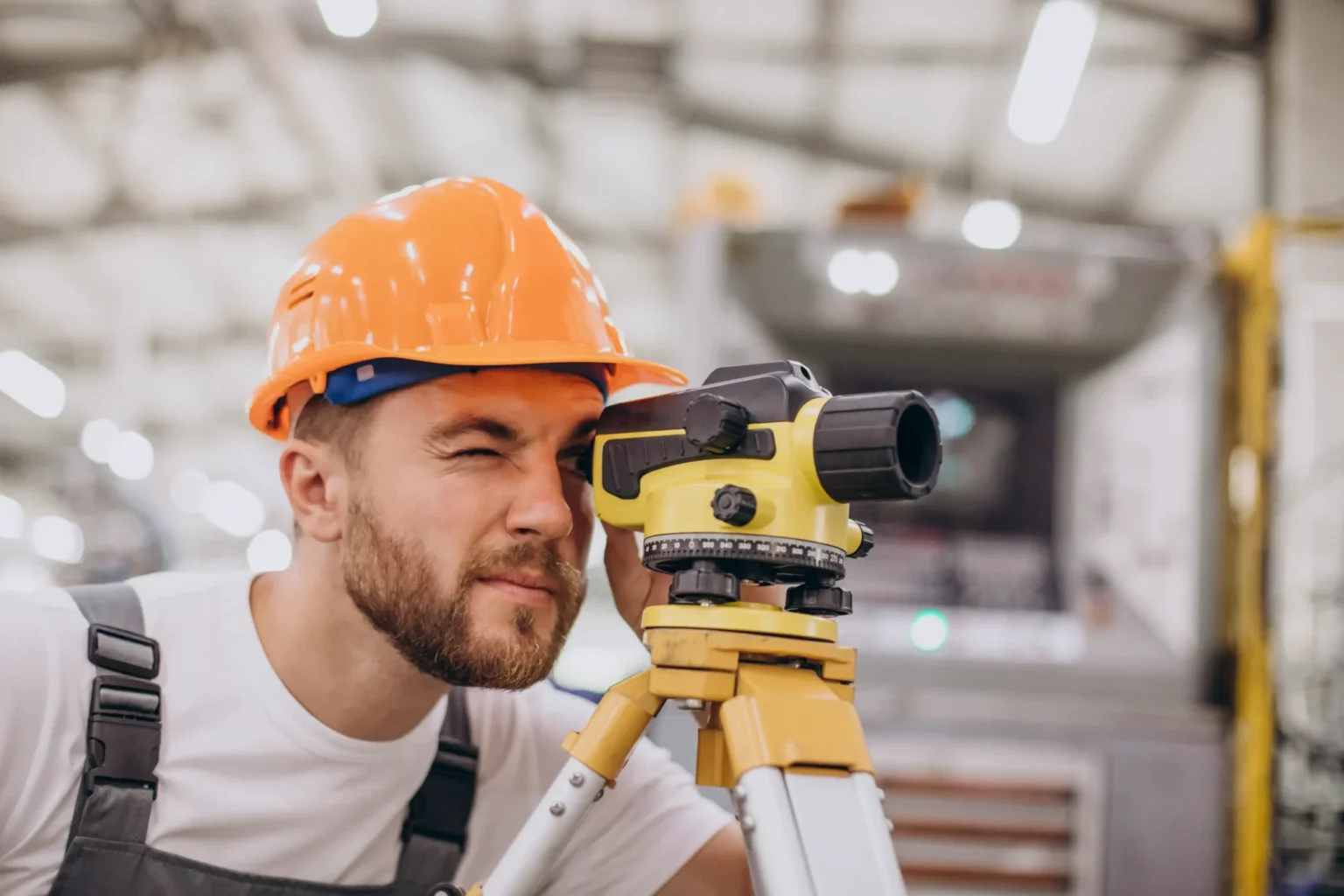
Topographic Surveys
Mapping natural and man-made features with elevation data — essential for planning, design, and construction across varied Caribbean terrain.
Volume Calculations
Reliable volumetric reporting for stockpiles, earthworks, and materials — combining drone data and scanning to reduce risk and improve control.
Let’s talk about your next project
Tell us the location, scope, and timeline. We’ll confirm the best approach and provide a clear quote.